Sierra Azul
To see more photos from this OSP go to: www.LCPhoto.SmugMug.com.
Vital Stats
Getting ThereThere are three entrance points to this OSP. See the individual hikes for specific directions.
|
Description and Map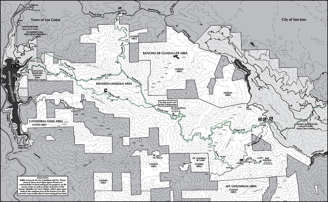
Though Sierra Azul is the largest of the OSP's it has the least number of trails and much of it is closed to public access for various reasons.. The map shown here shows only the areas with public access. The following is copied from the OSP website and is a pretty good description of what I've seen so far.
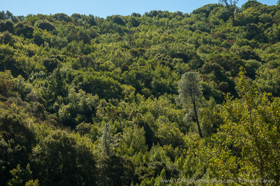
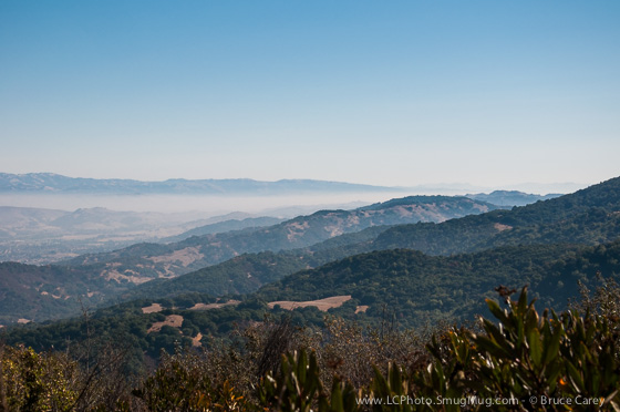
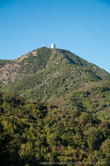
Overlooking the town of Los Gatos and the south bay, Sierra Azul Open Space Preserve is the District's largest preserve, encompassing over 18,000 acres of mostly rugged and steep terrain. The environment of Sierra Azul is strikingly varied. One can visit serpentine grasslands, hard, rocky, and steep chaparral, dense stands of bay trees, or quiet, shaded oak woodland forests. For the more hardy explorers, there are deep ravines and riparian corridors, some containing seasonal or year-round water flow. Wildlife is abundant in Sierra Azul. The entire Preserve is prime mountain lion habitat and also provides homes for deer, bobcats, coyotes, and many other species of animals. Sierra Azul ("Blue Range") is a true wilderness area, yet surprisingly close to the urban areas of the South Bay, making it a popular destination. Links
|
Easiest Hikes |
Medium Hikes |
Harder Hikes |
