El Corte de Madera - Tofani Loop
To see more photos from this hike go to: www.LCPhoto.SmugMug.com.
Hike Stats
Getting ThereTurn-By-Turn
Downloads
Related Hikes
|
Description and Map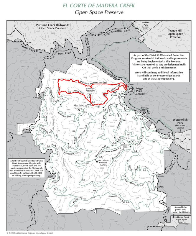
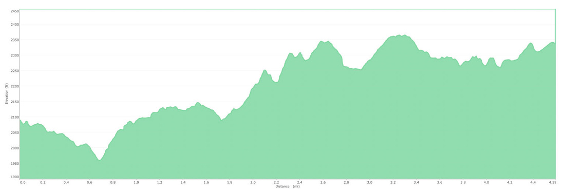
Well, first off I have to admit I did this hike several years ago so my memories are fuzzy. I have good memories of it and remember thinking further exploration was necessary so look for updates on all facets of this page. I also forgot to turn my GPS on for the first 1.5 miles or so which makes the elevation profile a bit wonky.
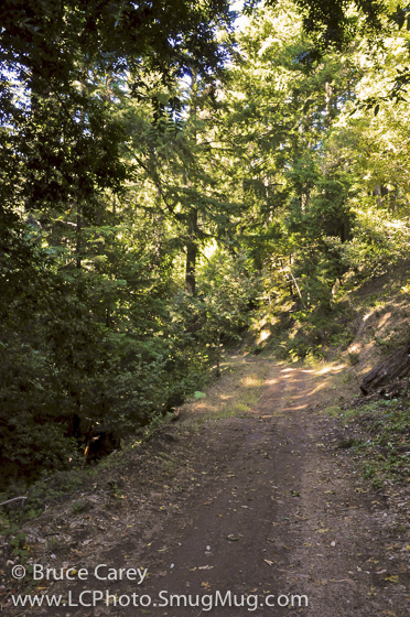
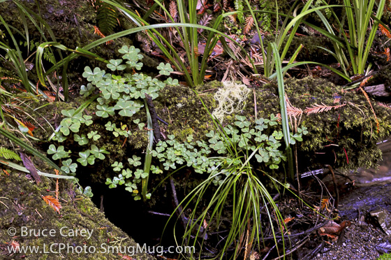
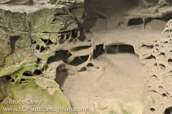
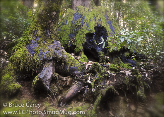
From memory. The trail starts immediately down a long, steady moderate, 2 mile long decline into a mountain valley (as I said I forgot to turn my GPS on so just extend the elevation profile at the start out for about 1.5 miles to the left). You then spend most of the rest of the hike working your way back up to the starting point. As I remember, the trail is mostly shaded woodland with dense vegetation, In fact I remember only one spot with any kind of big scenic view. Lush ferns, clovers, and other undergrowth beneath thick dense forest is what I remember most. Oh, that and the Tofani rock formations. They're pretty weird. Sorry that's about as detailed a description as I can come up with at this point. I'll update when I hike this again. If you decide to give this trail a try email me your description and it might show up here! Contact Me. Alternate Route Turn Points and Descriptions |
Elevation Profile