Rancho Cañada del Oro
To see more photos of this Preserve go to: www.LCPhoto.SmugMug.com.
Vital Stats
Getting There |
Description and Map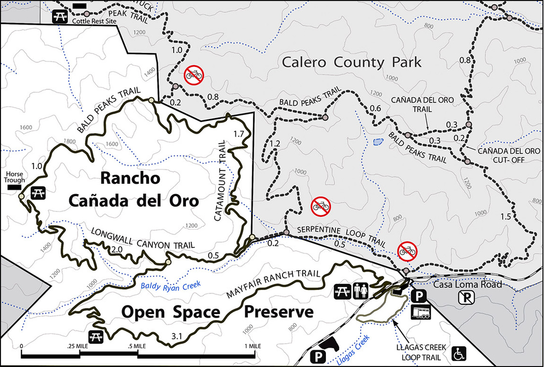
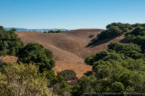
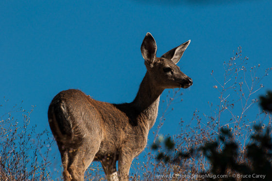
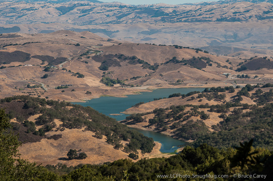
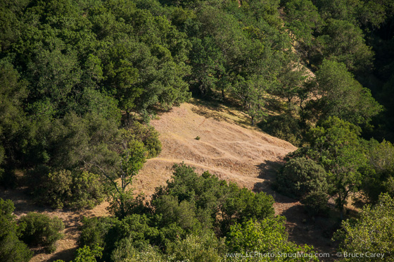
Even ignoring the fact that this preserve is only about a 15 or 20 minute drive from where I live it has rapidly become one of my favorite places to hike. This is due in part to the variety in vegetation, great views and challenging trails. More importantly is the fact that I almost always encounter at least one deer or more every time I hike there. I've even seen a coyote or two off in the distance.
While the steepness of some sections of the trails make this a challenging place for beginners, there are a few hikes where those ready to take on steeper inclines can easily customize the difficulty off their hikes. Adjacent to the parking lot is the recently added Llagos Creek Loop. This paved .50 mile whole access trail meets all ADA guidelines and, while as of this writing (Dec 2013) the planted vegetation is still in the early growing stages, still allows for views of the adjacent Llagos Creek and even the occasional deer sighting. Links
|
Easiest Hikes |
Medium Hikes |
Harder Hikes |
