The Lakeview Loop
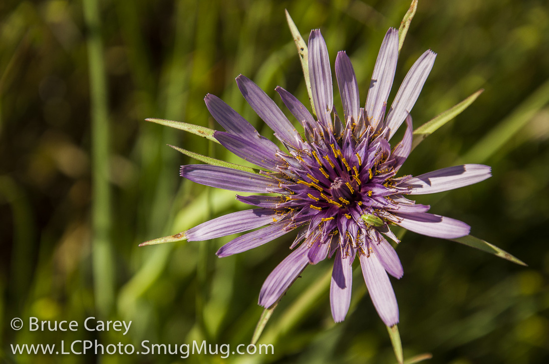

To see more photos from this hike go to: www.LCPhoto.SmugMug.com.
Hike Stats
Getting There From central San Jose:
Turn-By-Turn
Downloads
Related Hikes
|
Description and Map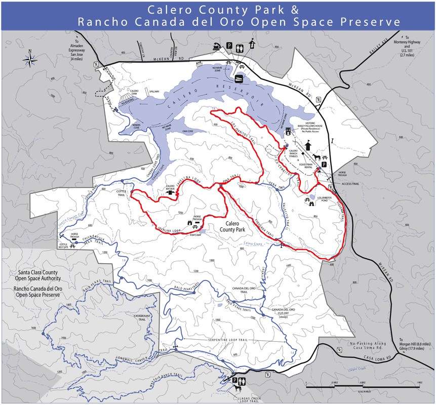
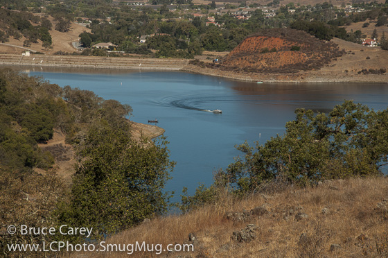
After a brief walk on a trail just called "Access Trail" the real trail begins by bearing Right onto Los Cerritos Trail. This section of trail takes you through some rolling hills that afford some fairly closeup views of the lake. This is some of the best quintessential California west I've seen. With it's mostly open grass covered ground doted by patches of Oaks all you would need to do is slap a few covered wagons on the trail or a Cowpoke herding some cows and you've got the perfect set for a Hollywood Western!
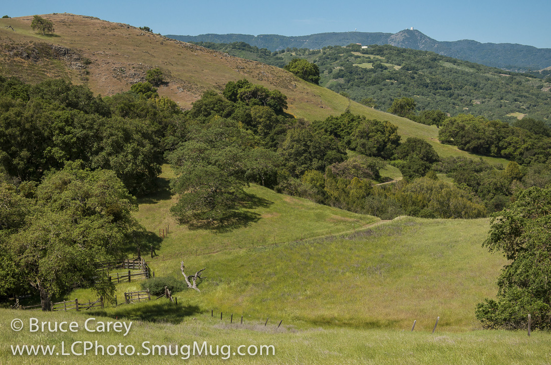
As you near the Pena Trail the going gets a bit steeper. Once you actually reach the Pena Trail turn right continue up. After reaching the highest point of the Pena Trail as you head back down into a beautiful little valley the density of the Oaks increases for some welcome shade. At the bottom of the valley, in the shade of an Oak grove, is a 4-way trail junction. This is one of those spots where you can easily shorten your hike. If you choose to do so you can skip the 2.6 mile Javelina Loop and bear to the left onto the Figueroa Trail. However, if you're up for the big hike I highly recommend you turn right onto the Javelina Loop Trail. This loop has some great scenery through mostly Oak shaded terrain. It does have a moderately long, steep uphill section that ends with a pretty nice view before descending back into the valley. Once you return to the 4-way junction just turn right onto the Figueroa Trail for a pleasant, 1.7 mile or so gently sloping downhill walk home. You'll pass through some nice shaded areas with the trail following a creek that I assume has water in it during the Winter/Spring/Early summer periods (I've only been there in late summer so far and it's pretty dry). The trail finishes up with a final 3/4 of a mile or so back into open grasslands. Alternate Route Turn Points and Descriptionscoming soon
|
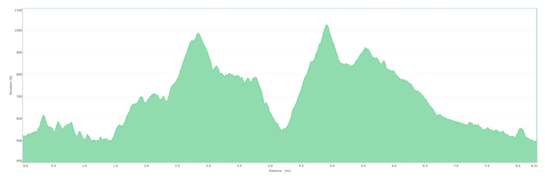
Elevation Profile