Mayfair Ranch Out and Back
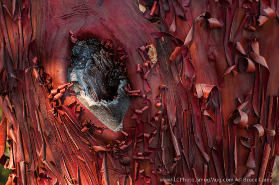
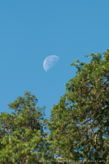
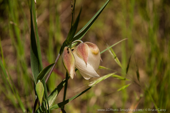
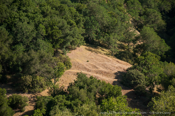
To see more photos from this Preserve go to: www.LCPhoto.SmugMug.com.
Hike Stats
Getting There
Turn-By-Turn
Downloads
Related Hikes
|
Description and Map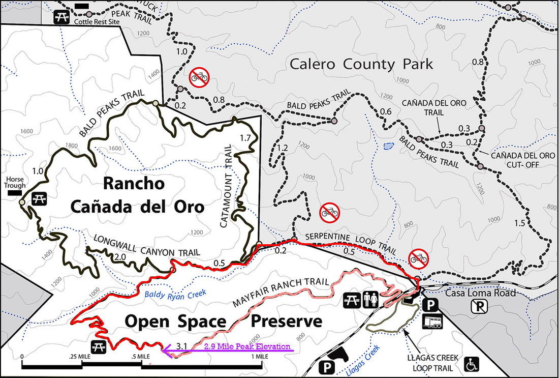
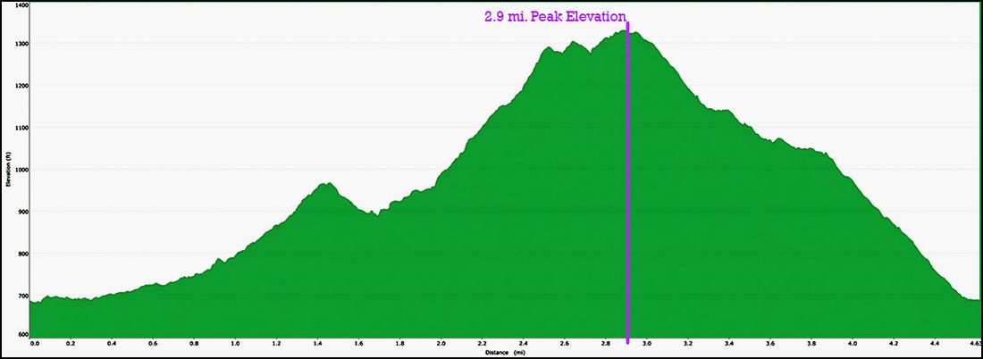
Since this hike starts out fairly level, moves to a moderate incline at the .75 mile mark and then a steep incline at the 2 mile it makes a great transition hike as an Out and Back version of the Mayfair Ranch Loop Trail. You control how hard the hike is. Reached your uphill climbing limit, turn around for a downhill back to the parking area. Once you reach the 2.9 mile mark you might as well continue and finish the loop as it is just a 1.75 mile downhill from there.
See the Mayfair Ranch Loop Trail for details Alternate Route Turn Points and Descriptions |
Elevation Profile