The Full Tour
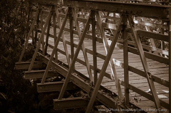
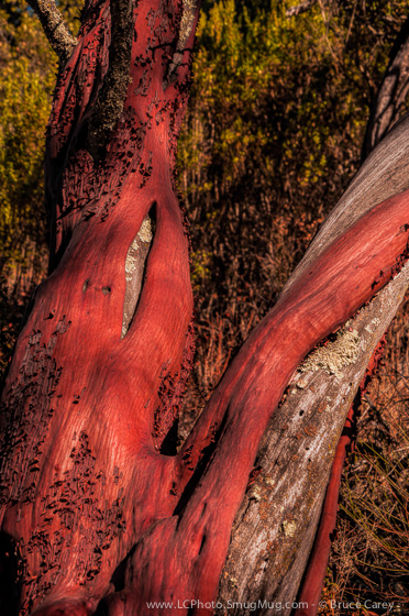
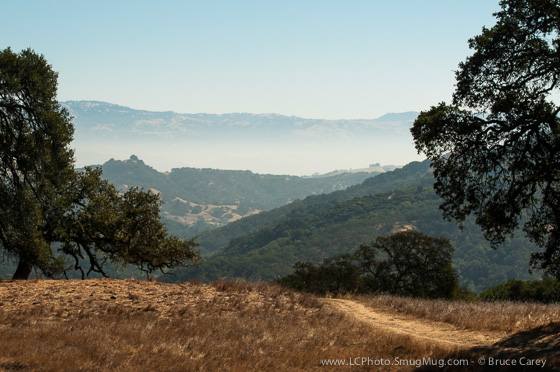
To see more photos from this Preserve go to: www.LCPhoto.SmugMug.com.
Hike Stats
Getting There
Turn-By-Turn
Downloads
Related Hikes
|
Description and Map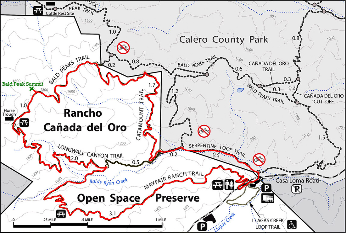
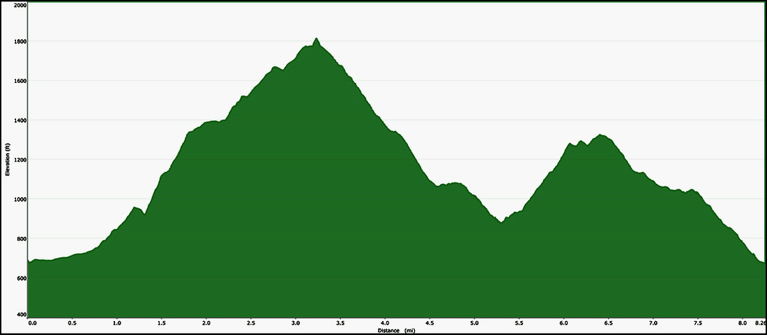
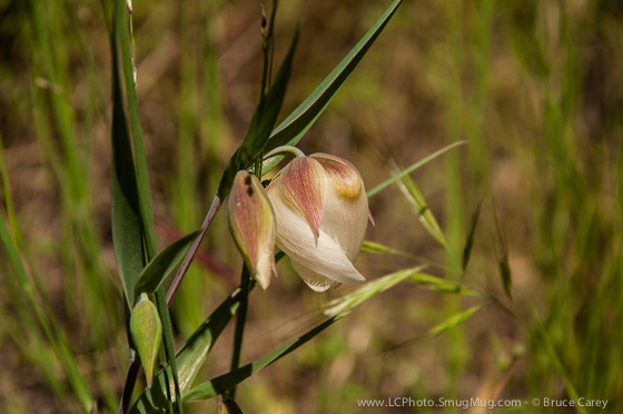
This hike covers all the trails in the preserve with the exception of a ½ mile connector chunk of the Longwall Canyon Trail and the paved Llagos Creek Loop (which is right next to the parking lot so if you want to do another ½ mile it's right there!). On this hike you cover everything from canyons and creek bottomed ravines to the panoramic view from atop the 1800 ft Bald Peak. The flora is a wide variety from scrub , open grasslands and dense Oak/Bayberry forest. I regularly see deer and have even spotted a coyote or two in the distance.
A more detailed description is in the works. Alternate Route Turn Points and Descriptions |
Elevation Profile